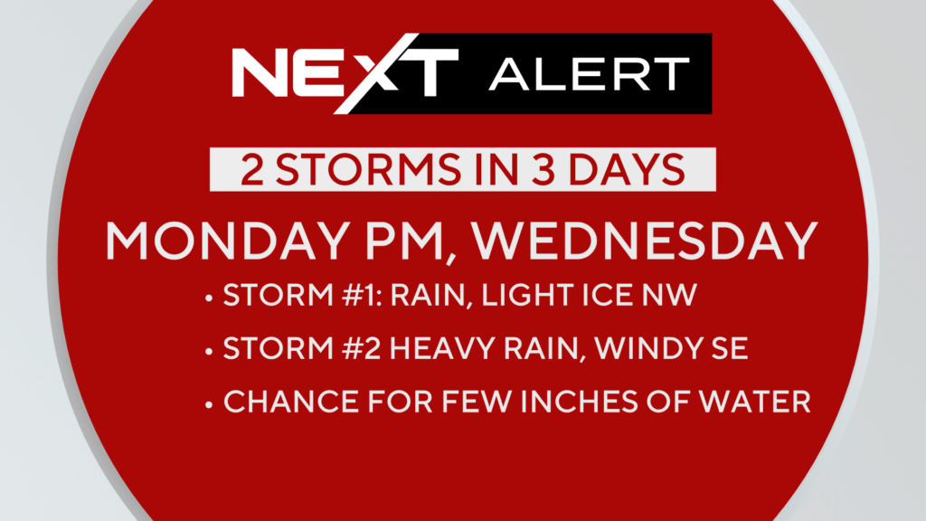
Tracking two storms to start the workweek…

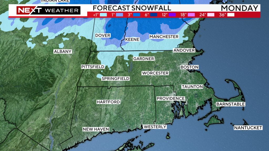
Monday’s storm will be mainly a cold rain in eastern MA…
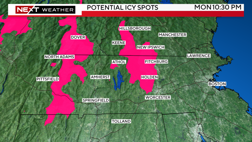
Chance of a little ice and snow well to the northwest at the onset


Precip starts around 2pm Monday and tapers off around or just after midnight.
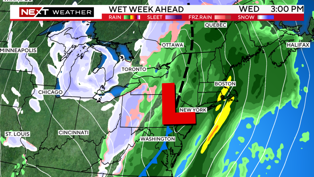
We get a break on Tuesday before a stronger storm rides up from the south on Wednesday.
Looks like and all day rain, heaviest PM.
Could bring an inch or two of rain in some locations along with some gusty winds over SE MA (Cape and Islands).
Don’t see any wintry precip with this one, in fact temperatures could soar to near 60 degrees over eastern/southeastern MA

Another cold blast for the end of the week…otherwise quiet weather heading into the weekend
Click here for Westford snow storm data and past totals or select “Winter Snowfall“ under “Pages” on the left hand side.
For more up to date forecast information follow me on Twitter (@terrywbz) or follow the WBZ weather team on Facebook, search WBZWeather


Reader Comments