I’ve got some good news on this Thursday! The cold has bottomed out and temperatures will be on the rise in the hours and days ahead!
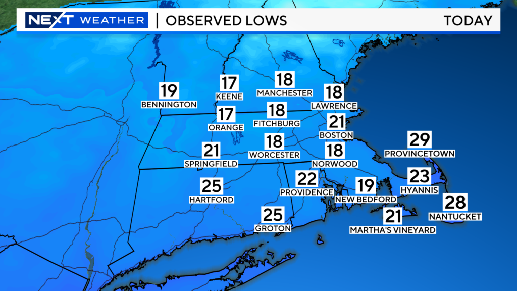
This morning was quite chilly, the coldest morning in Boston since February 26!

Temperatures will slowly rise into the mid 30s today, this will be our last day with temperatures this low for quite some time, perhaps a week or two!
Couple interesting notes today…
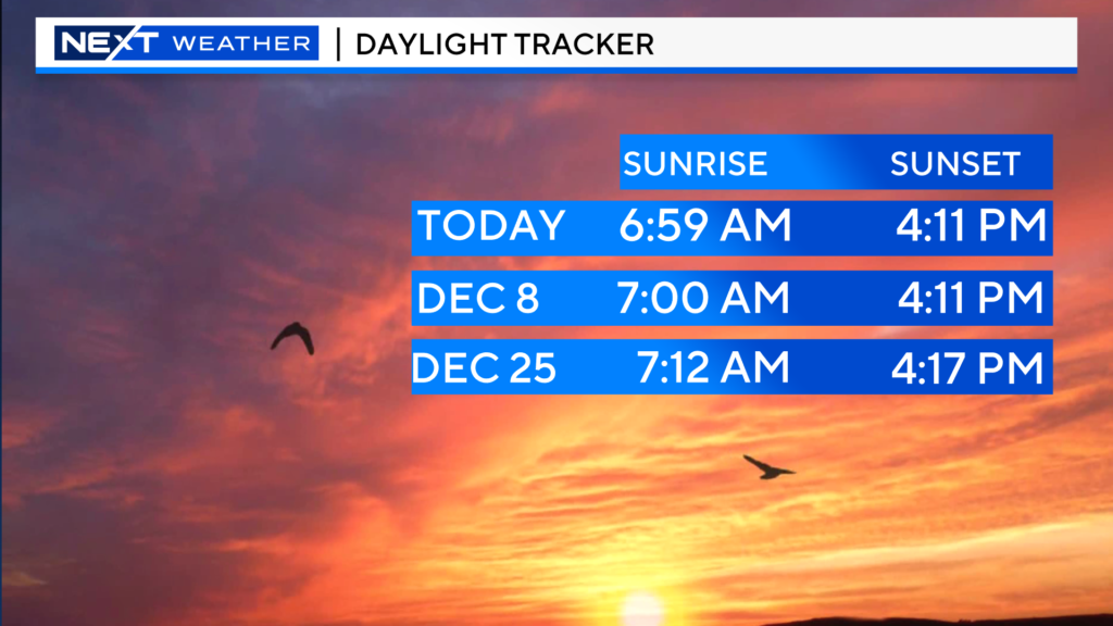
We have reached the earliest sunsets of the year. Over the next 6 days, the sunset will be at 4:11pm. Thereafter, we start gaining light again in the evenings.
Also, beginning tomorrow, the sunrise will be AFTER 7am…this will continue to be the case for about the next 7 weeks or so.

If you are an early riser, check out the Moon and Venus, shining brightly, near each other in the southeast before dawn on Friday!

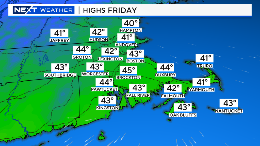
High temperatures on Friday will be about 10 degrees milder than today.
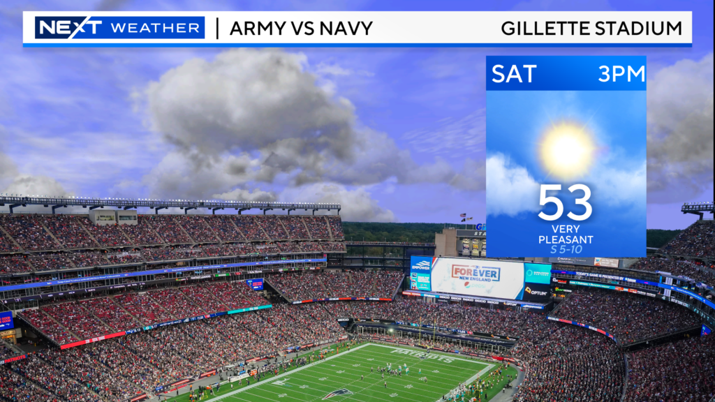
And, we will add another 10 degrees to highs on Saturday!

Couldn’t ask for better weather for the Army Navy game at Gillette on Saturday!

Our next big weather event arrives late on Sunday. This storm will bring a whole lot of rain and wind to the entire East Coast. For New England, the heaviest rain and strongest winds will occur overnight Sunday into Monday morning.
There may be as much as 2″ of rainfall in some areas, leading to some localized flooding early on Monday.
Winds are also a concern. Areas along the South Coast, Cape Cod and Islands could receive southerly gusts over 50mph. This could lead to some minor coastal flooding around the time of high tide Monday morning.

We will have much more on this storm in the days to come.
Stay with WBZ-TV, WBZ.com and CBS News Boston for frequent updates throughout the weekend.
Click here for Westford snow storm data and past totals or select “Winter Snowfall“ under “Pages” on the left hand side.
For more up to date forecast information follow me on Twitter (@terrywbz) or follow the WBZ weather team on Facebook, search WBZWeather


Reader Comments