


We continue to track what is now MAJOR Hurricane Ian.
THE LATEST:
Ian is now a category 3 hurricane and the eye is emerging back over open water north of Cuba. Max sustained winds are now at 125mph. The outer rain bands are pinwheeling over southern Florida this morning and the downpours will continue to push northward today.

MORE STRENGTHENING:We expect Ian to further strengthen today into at least a category 4 storm over the open (warm) waters of the Gulf of Mexico. Max sustained winds are forecast to increase to at least 140mph during the day today and lasting into tomorrow.

LANDFALL: Current forecast is for Ian to make landfall very close to Tampa in the early hours of Thursday morning as a category 3 hurricane. As is typical, the winds around the eye of Ian will rapidly decrease as it comes ashore and loses its main source of energy (warm water)…it is forecast to decease to a tropical storm by early Friday and pass just west of Orlando.

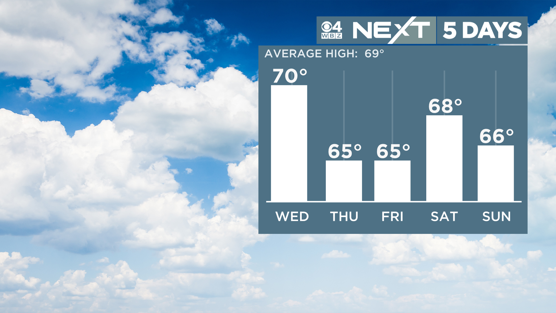
IMPACTS LOCALLY: Ian will slowly move northward through the southeastern U.S. into this Weekend. Thanks to a strong area of high pressure to our north, most of the remnant moisture from Ian will be shunted south of New England. In fact, it appears we may see very little (if any) rainfall here well into next week.

Our weather remains very quiet. Other than an isolated shower in the next 36 hours or so, there is essentially nothing to see here…Looks like a cool finish to the week!
Click here for Westford snow storm data and past totals or select “Winter Snowfall“ under “Pages” on the left hand side.
For more up to date forecast information follow me on Twitter (@terrywbz) or follow the WBZ weather team on Facebook, search WBZWeather
Reader Comments