


Man, what a rough way to start the week. A late-night Patriots loss followed by a grey, gloomy, wet Monday. Good news is, we have several very nice fall-like days ahead this week, just gotta get through today.
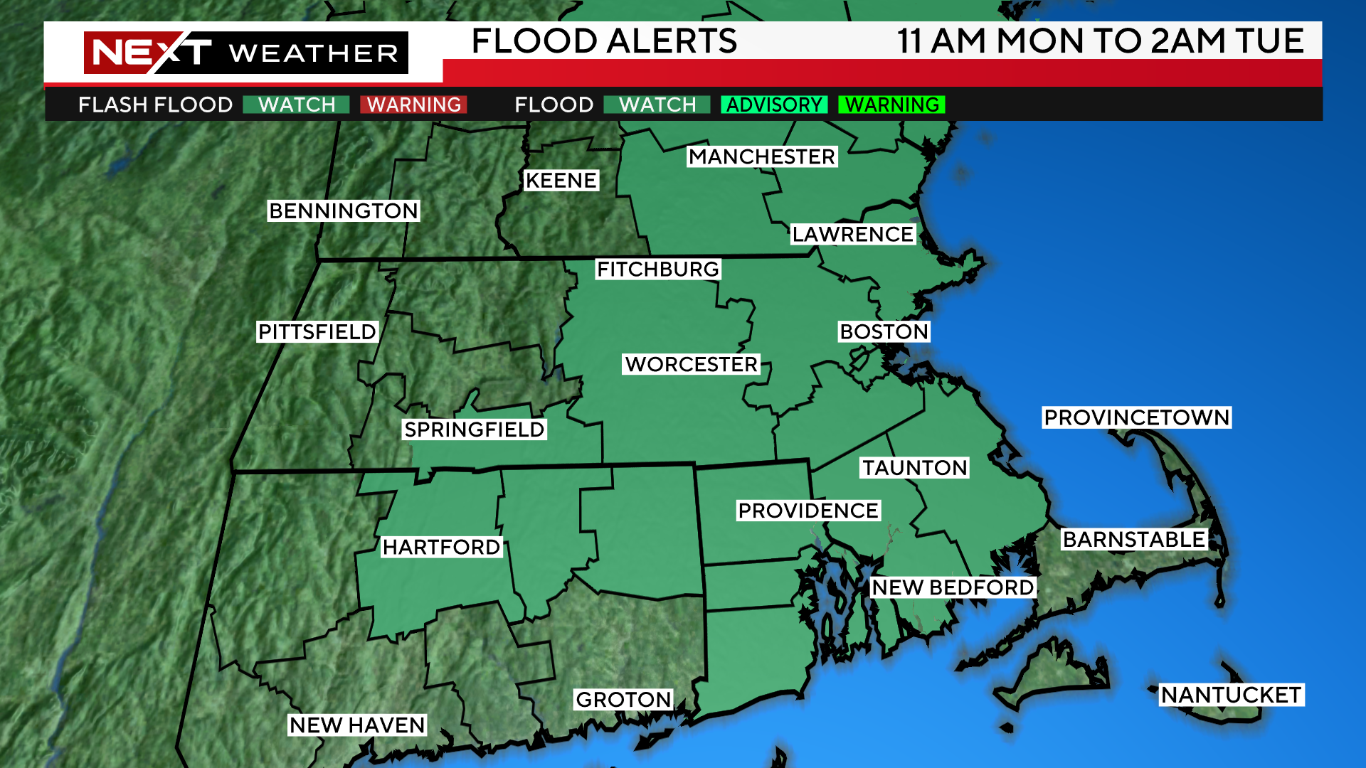
The WBZ Weather team has issued a NEXT Weather Alert for the risk of flooding rainfall through Monday evening.
In addition, the National Weather Service has issued a flood watch for most of central and eastern MA until late tonight.
While rain will certainly fall in the entire area today, there are two distinct areas that appear to be at highest risk of the heaviest rainfall.
- Southeast MA, mainly the Cape and Islands…this area has not had as much rain over the last several months and therefore the flooding concerns are not quite as high.
- NW of 495…a much greater concern in this area given that they have had so many flooding issues in recent weeks.
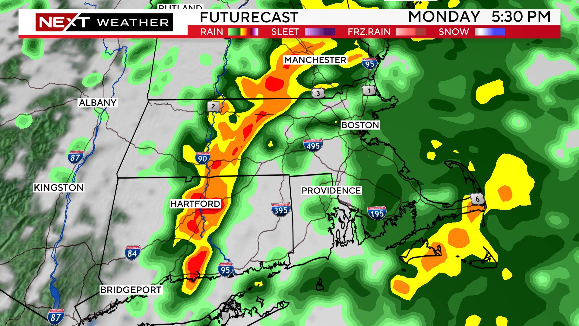
The heaviest rain will likely start around the evening commute and taper off after 10/11pm tonight. This is the timeframe of greatest concern.
The beat just keeps on keepin’ on…Boston and Worcester are already approaching their average total rainfall for an entire year.
Worcester to date is more than a foot above average!

Thankfully, after today, the rest of the week looks SPECTACULAR. Several days in a row with sunshine, mild days/cool nights and very low humidity. This should get some of the fall foliage going around the area. The foliage has been off to a slow start thanks to the warm and muggy conditions in the last few weeks.

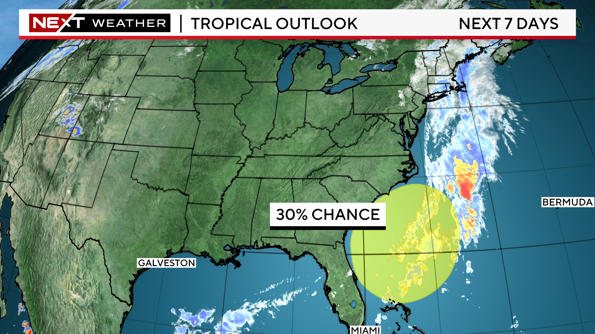
I know your eyes are likely drifting to that rainy forecast on Sunday…let’s see how things develop (don’t freak out yet). There is an area off the southeast coast that we will be watching this week for possible tropical development.
Whatever develops (or doesn’t develop) down there will have ramifications on our upcoming weekend. Most models bring some heavy rainfall into the Carolina’s later this week and eventually up into New England by Sunday. But there is a long way to go…stay tuned.
Click here for Westford snow storm data and past totals or select “Winter Snowfall“ under “Pages” on the left hand side.
For more up to date forecast information follow me on Twitter (@terrywbz) or follow the WBZ weather team on Facebook, search WBZWeather
Reader Comments