Happy Friday!
The Storms Prediction Center has placed the Boston-Worcester corridor in a “marginal” risk for severe weather today and areas north and west of there in a “slight” risk.
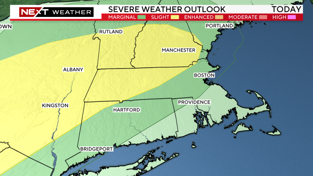
We expect there to be a broken line of downpours and thunderstorms northwest of Boston later this afternoon. The timeframe to watch today will be between 4-10pm…
4-7pm in areas like southern NH, Worcester and Middlesex counties
7-10pm near Boston and points to the south
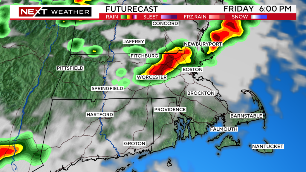
Our main concern with any storms that form today is for localized flooding. There could be 1-2″ of rain in a short period of time in some areas.
There is also a smaller risk of some wind damage and hail within any thunderstorms that bubble up.
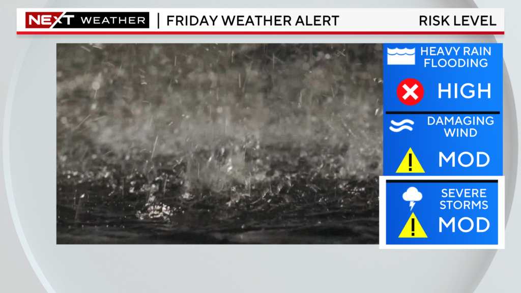
The storms will weaken after 9-10pm tonight. Overnight, we expect just a few leftover showers, which should clear out of here by Saturday morning.
The Weekend looks SPECTACULAR! Fairly low humidity, lots of sunshine and highs each day in the low 80s with some cooling coastal breezes at the beaches.
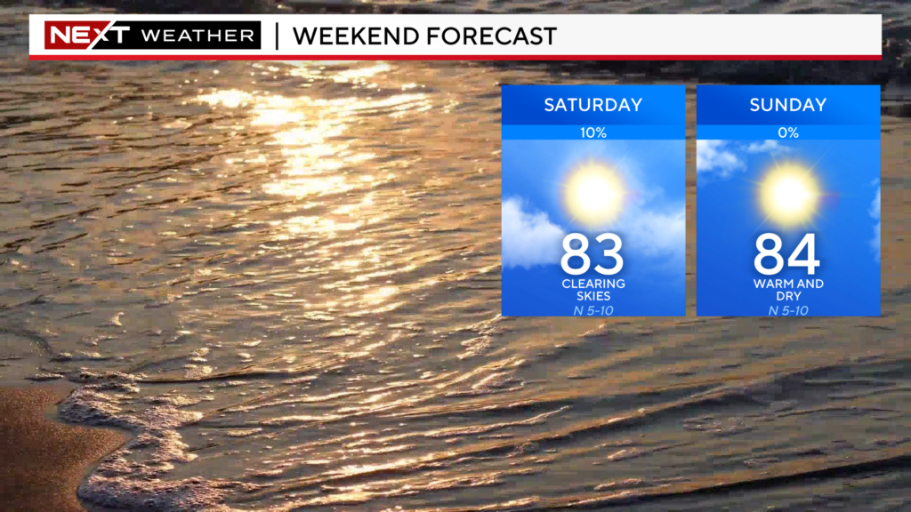
Conditions will also be ideal for those riding in the PMC this Weekend.
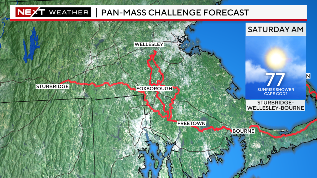
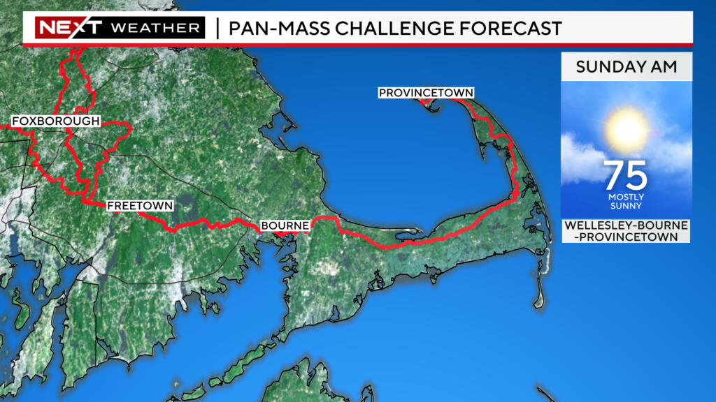
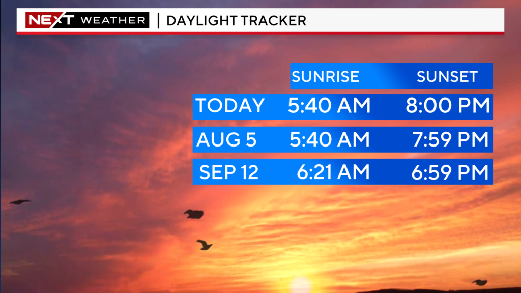
Lastly, I hate to leave you with a sour note on a Friday…BUT, today marks the last 8pm sunset of the year.
Days get shorter and sunset gets earlier and earlier from here on out. BOOOOOO!
Click here for Westford snow storm data and past totals or select “Winter Snowfall“ under “Pages” on the left hand side.
For more up to date forecast information follow me on Twitter (@terrywbz) or follow the WBZ weather team on Facebook, search WBZWeather


Reader Comments