


Happy Friday!
I wish I had better news. It appears as though, for most of us, it will be another gloomy, damp Saturday.
First things first…
Today:
Cloudy, chilly, raw…Periods of showers, heaviest across central and western MA. Heading to a high school football game tonight? More of the same, areas of rain, temperatures in the 50s.
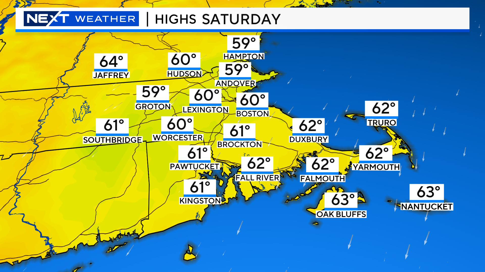
Saturday:
Periods of rain, steadiest and heaviest south of the Pike.
Rain will be more scattered and lighter along and north of the Pike.
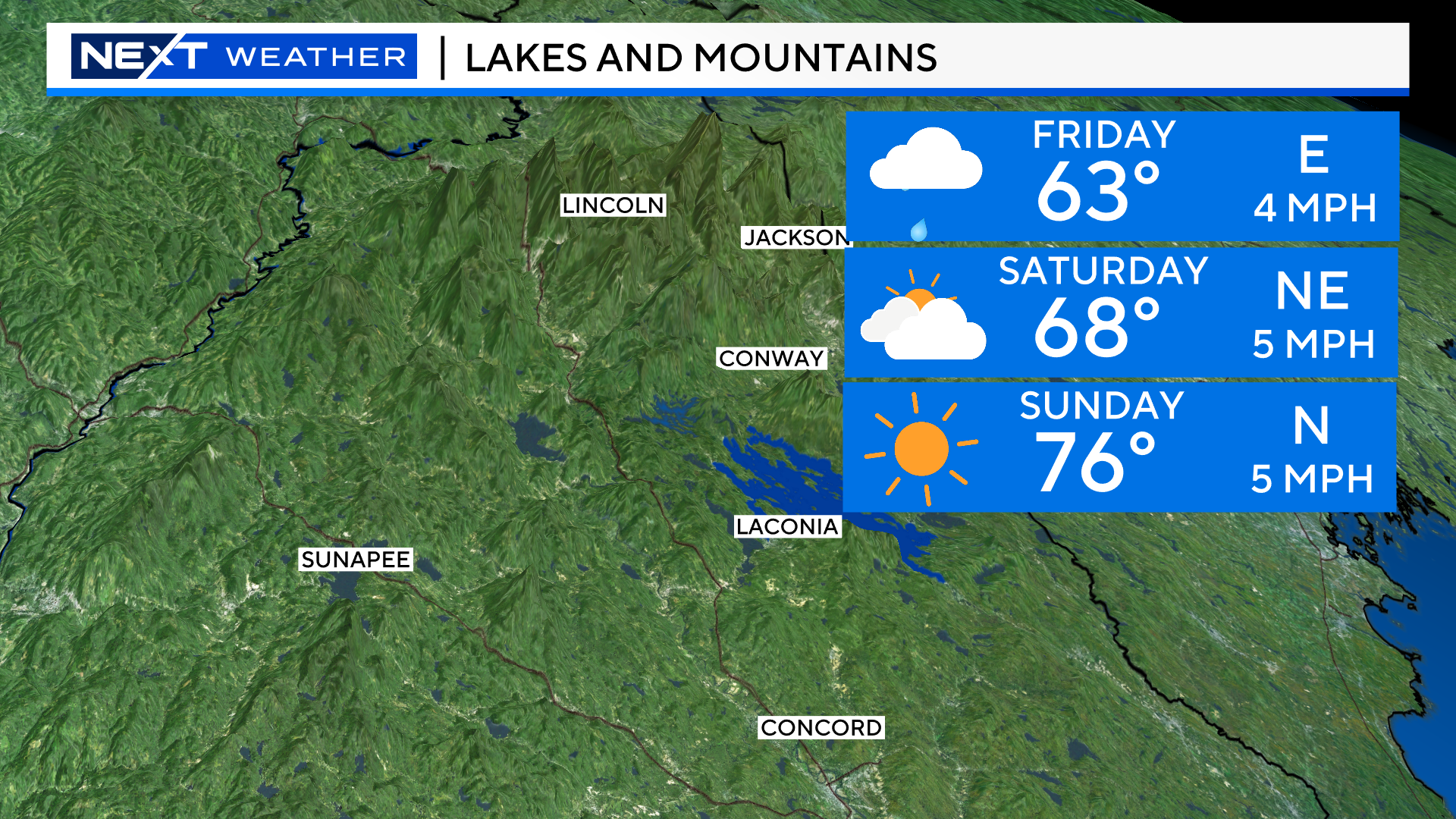
Just a few sprinkles up near the MA/NH border and a completely dry day up in the Lakes and Mountains.
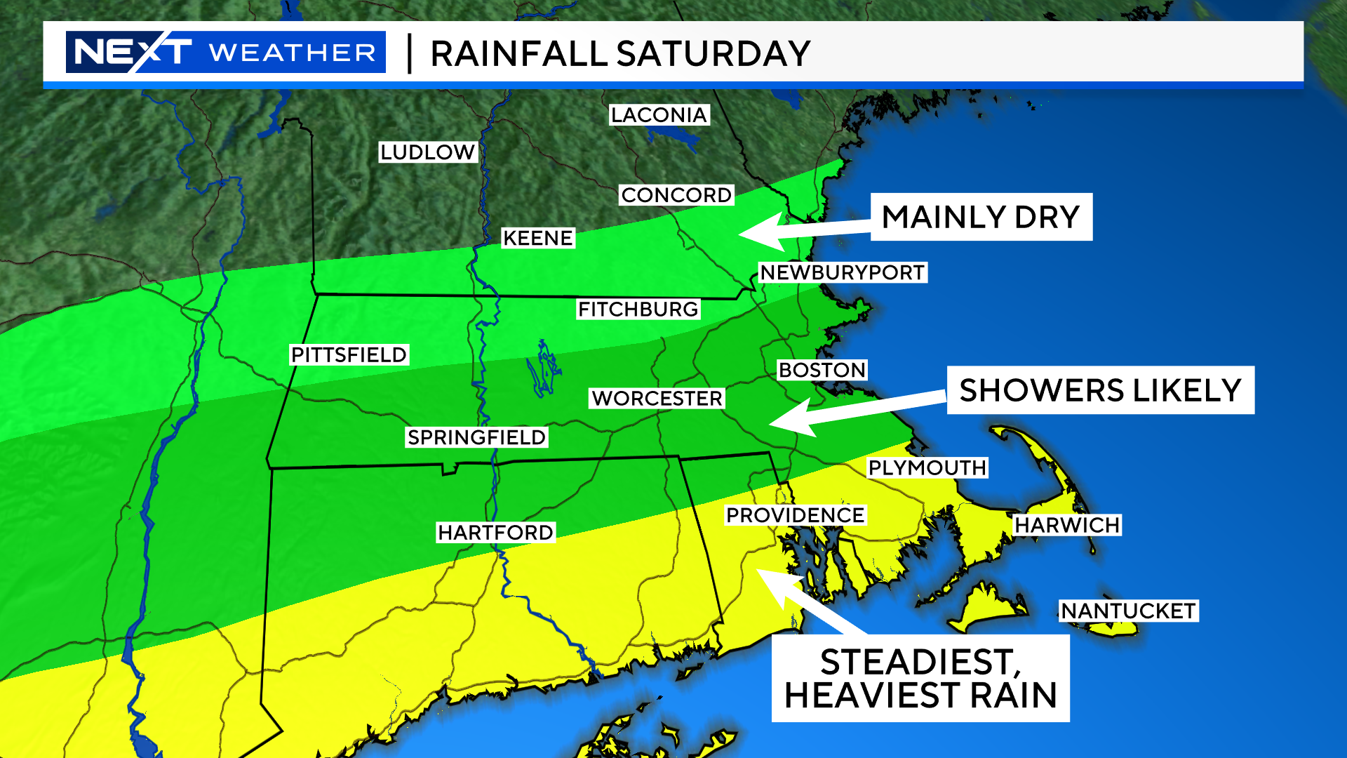
Everyone in southern New England will be socked in the clouds for the day and chilly, highs generally 55-60.
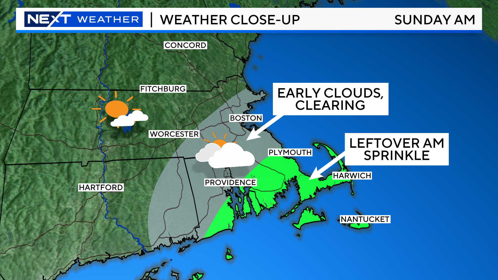
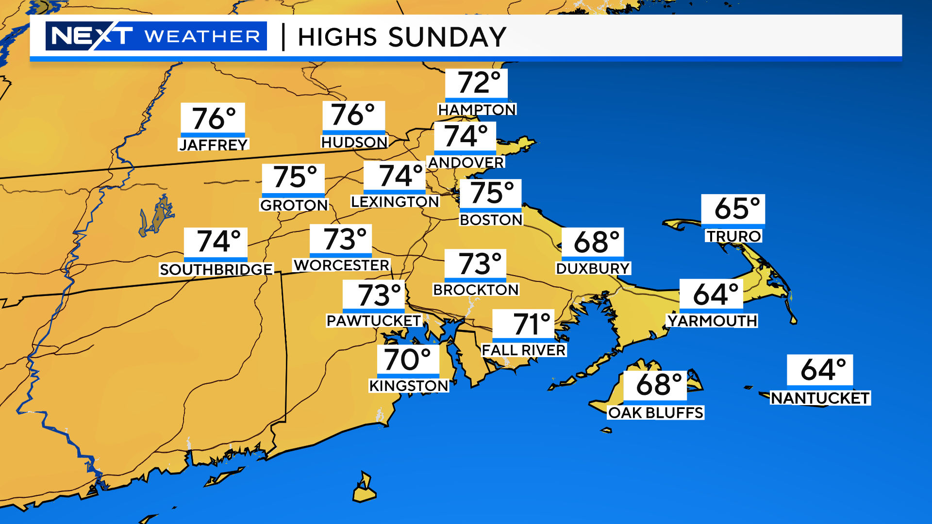
Sunday:
A MUCH better day. There will likely be a murky start along the Coastline and a few final sprinkles over southeastern MA early in the morning. As the storm pulls away, the clouds will clear and we expect a good deal of sunshine by mid to late morning and throughout the remainder of the day.
Temperatures will be 10-15 degrees milder on Sunday.
If your travels take you up north this weekend, it should be rain-free! Some clouds around on Saturday at times, but a much better forecast than down here. Again, foliage is off to a late start, but some areas are starting to pop, especially in the higher elevations and swampy/lake areas.
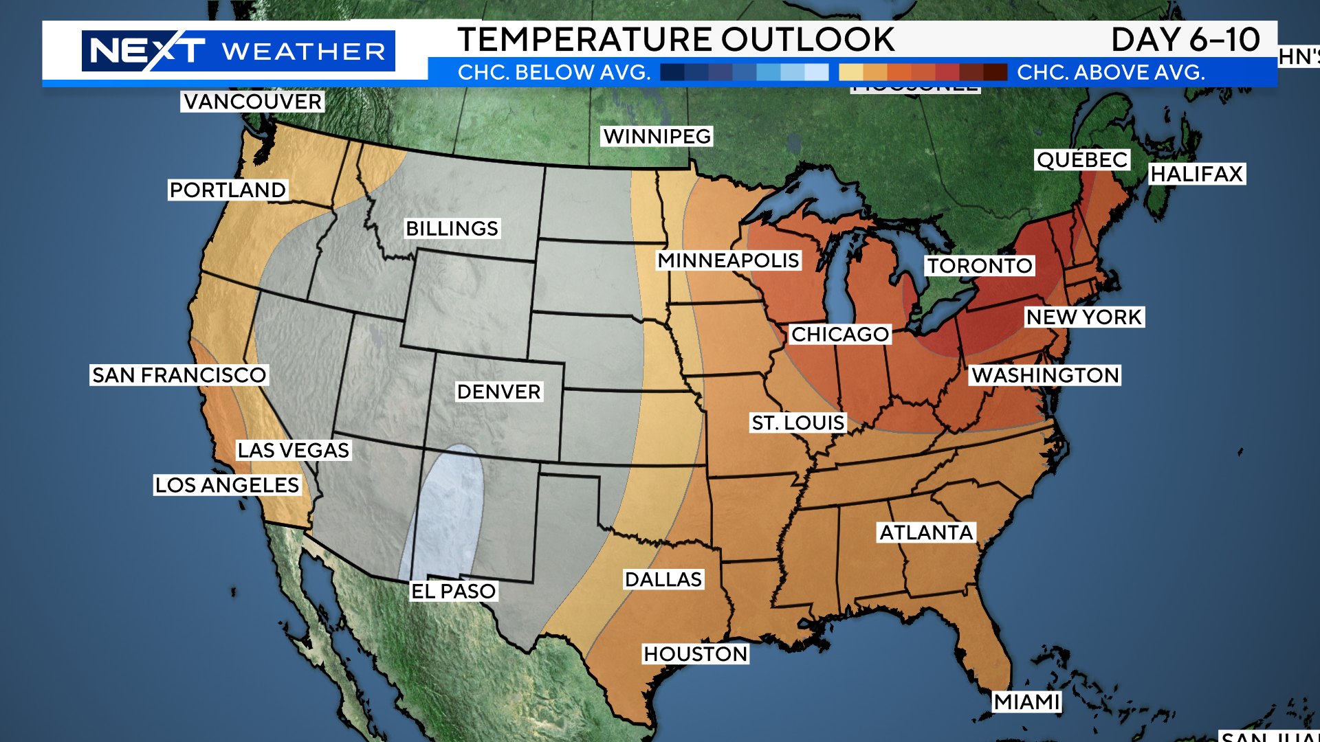
Next week looks terrific! We have a shot at 80 degrees by midweek and we do not expect any significant rainfall during the work week.
Click here for Westford snow storm data and past totals or select “Winter Snowfall“ under “Pages” on the left hand side.
For more up to date forecast information follow me on Twitter (@terrywbz) or follow the WBZ weather team on Facebook, search WBZWeather
Reader Comments