The WBZ Weather Team is issuing a NEXT Weather Alert starting immediately for the threat of some severe weather on Friday.
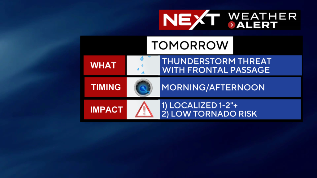
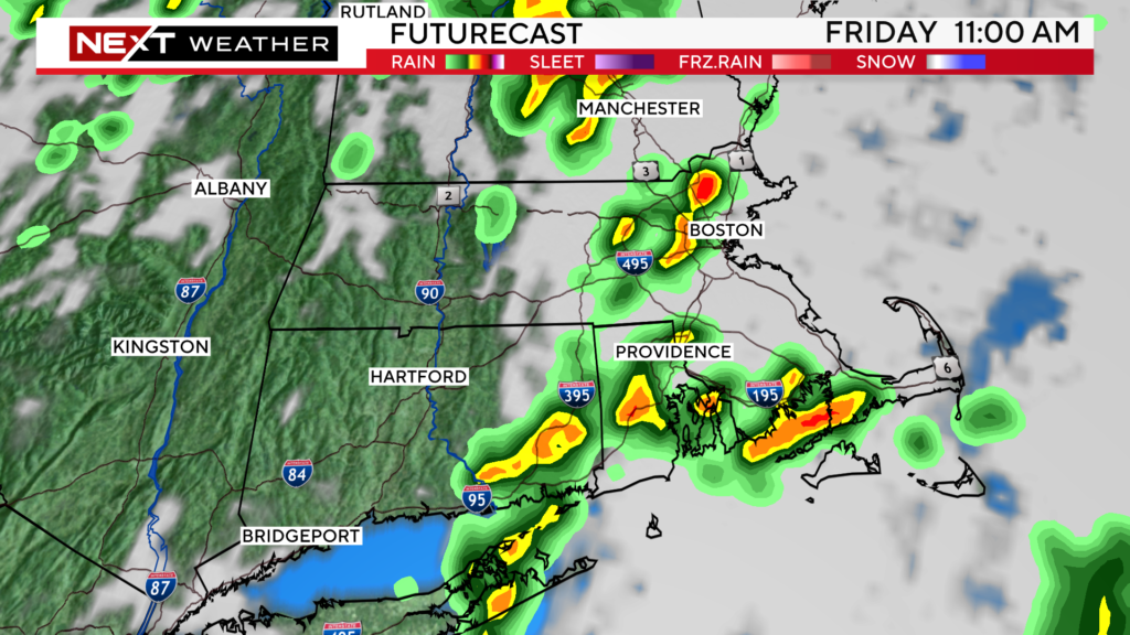
Here we go again…We are tracking a cold front moving through the upper Midwest today which will be arriving Friday morning in New England.
Timeframe to watch would be primarily between 8am and 2pm on Friday, although we cannot rule out a stray storm just before or after those hours.
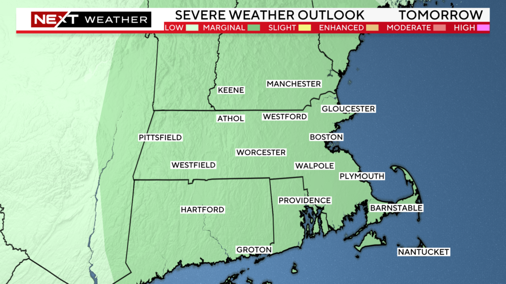
The Storms Prediction Center has placed our area in a “marginal” risk for severe weather on Friday.
And, they also put portions of eastern MA in a 2% tornado risk as well.
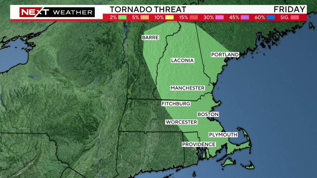
This certainly is not a high risk situation for tornadoes in our area tomorrow, however, we cannot rule out a few quick, weak, spin-up tornadoes, similar to those which we have had already this season.
Additional risks tomorrow include…small hail, damaging straight-line winds and some localized flooding.
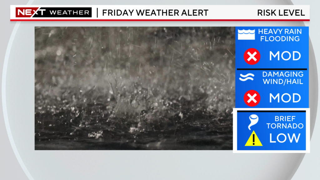
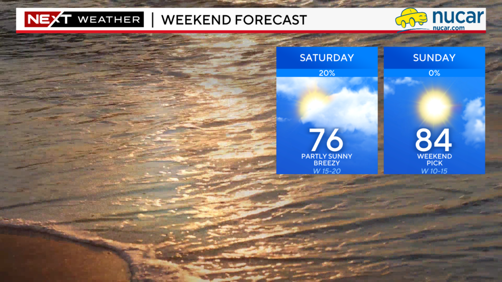
Any storms that form will quickly exit our area Friday early evening and a WHOOSH of much drier, more comfortable air will arrive in time for the Weekend.
Saturday will feature a mix of sun and clouds with highs in the 70s. Sunday will be sunnier and warmer as well.
Click here for Westford snow storm data and past totals or select “Winter Snowfall“ under “Pages” on the left hand side.
For more up to date forecast information follow me on Twitter (@terrywbz) or follow the WBZ weather team on Facebook, search WBZWeather


Reader Comments