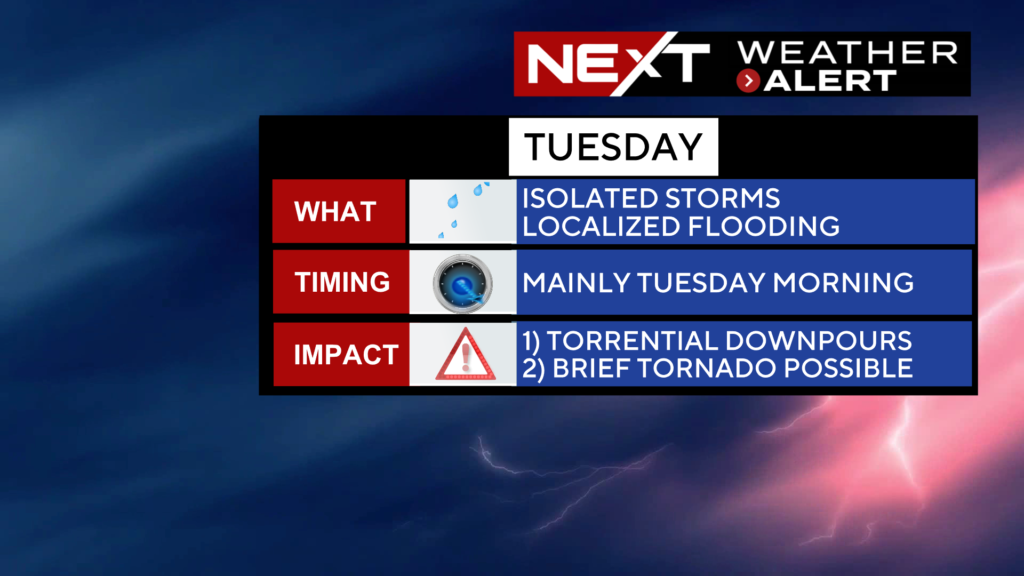
The WBZ Weather Team has issued a NEXT Weather Alert for the chance of some heavy rain and severe storms Tuesday.
In addition, the Storms Prediction Center has all of southern New England in a “marginal” risk for severe weather.
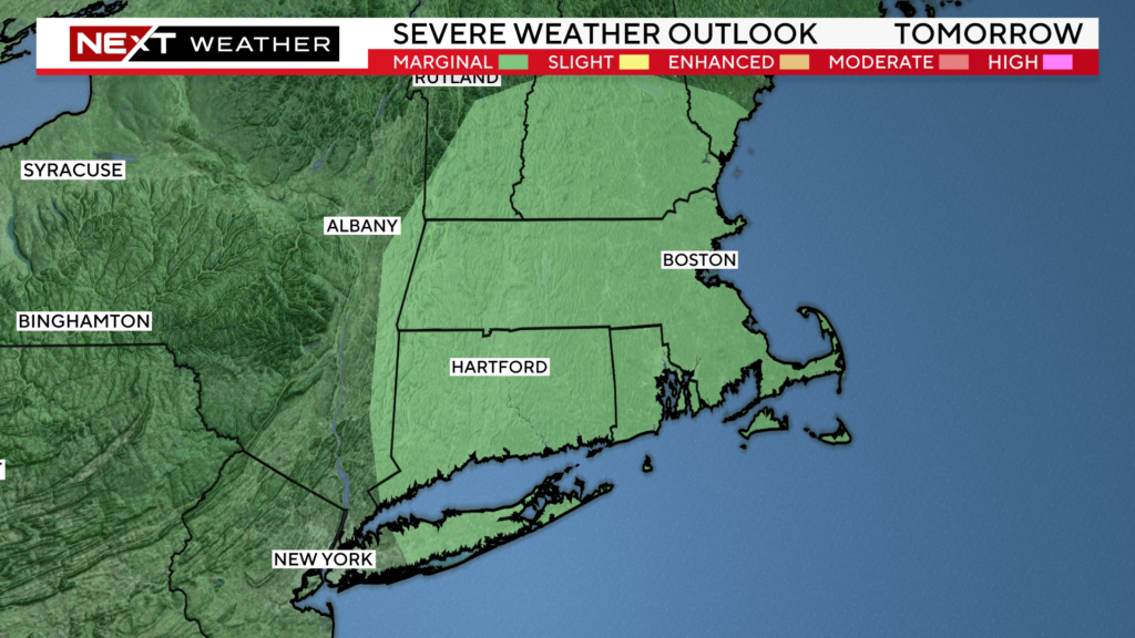
It is a bit unusual to be talking about a severe weather event in the morning hours. Typically, we need to wait for the prime heating of the day to occur. Most of our storms tend to pass through in the late afternoon/evening timeframe.
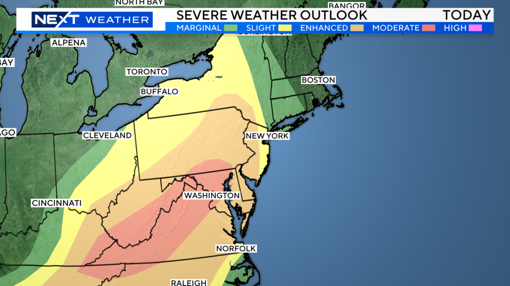
On Tuesday, we will be dealing with an early frontal passage, the remnants of what is likely to be a fairly large and widespread severe weather outbreak today stretching from Upstate New York down through the Mid-Atlantic and Virginia’s.
There is a chance for a few severe storms as early as 2-3a Tuesday, however, it appears the best chance and highest threat of showers and storms will be between 7am and Noon on Tuesday.
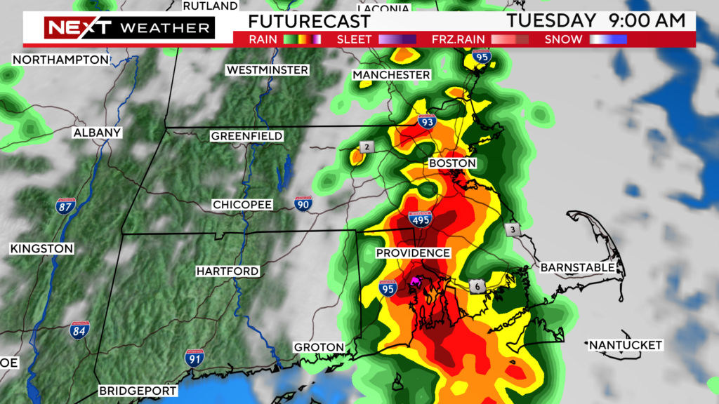
The main concern from any storms that form will be torrential, flooding rainfall. There is a lower threat of some damaging winds as well.
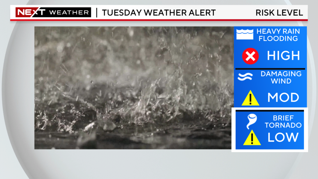
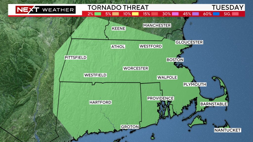
And, once again, we cannot rule out an isolated, spin-up tornado on Tuesday morning. The SPC has placed most of our area in a 2% tornado risk given the atmospheric setup.
Much of what does or does not happen tomorrow morning will depend upon how things evolve today over the Mid-Atlantic. We do not anticipate a large-scale severe weather event here tomorrow morning, but there is a chance for a few isolated/rotating severe storms.
Things will clear out nicely on Wednesday! We expect a mainly sunny day with much lower humidity and a bit of a breeze.
Same deal Thursday and Friday…lots of sunshine, highs in the mid 80s and a very low risk of any showers.
Click here for Westford snow storm data and past totals or select “Winter Snowfall“ under “Pages” on the left hand side.
For more up to date forecast information follow me on Twitter (@terrywbz) or follow the WBZ weather team on Facebook, search WBZWeather


Reader Comments