On Friday morning, the Storms Prediction Center upped the ante for severe weather today placing much of central and western MA in a “slight risk”.
We expect that storms will begin to fire in western MA early this afternoon.
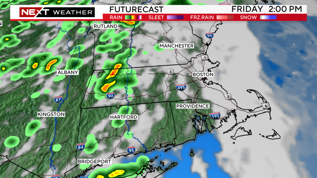
By late afternoon and this evening, there are likely to be several storms in central MA.
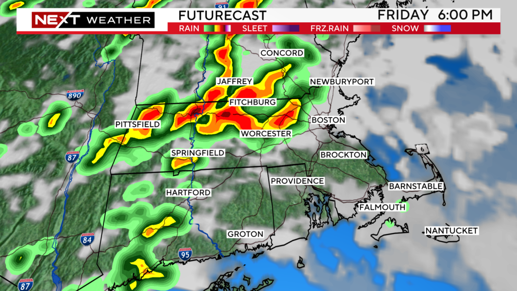
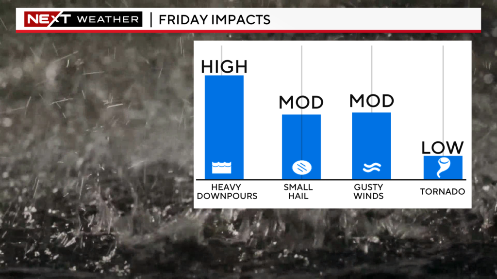
There are multiple concerns within any of the storms that form this afternoon.
First and foremost, there are likely to be areas with torrential downpours and localized flooding.
We also cannot rule out some isolated areas with damaging winds and small hail.
Finally, there is a small but non-zero risk of a brief, spin-up tornado (again, mainly in central and western MA).
It remains to be seen how much of this activity will be able to spill over into eastern MA tonight. The atmospheric setup in eastern MA is not nearly as conducive to severe weather, so therefore, we expect the storms to rapidly weaken as they try and push eastward tonight.
As for this weekend, things are looking up!
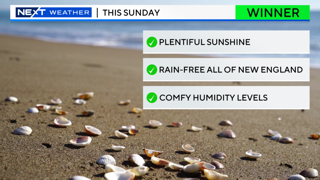
Other than a brief, early shower near the Coastline Saturday, we are in for a dry weekend (rain-wise and humidity as well)!
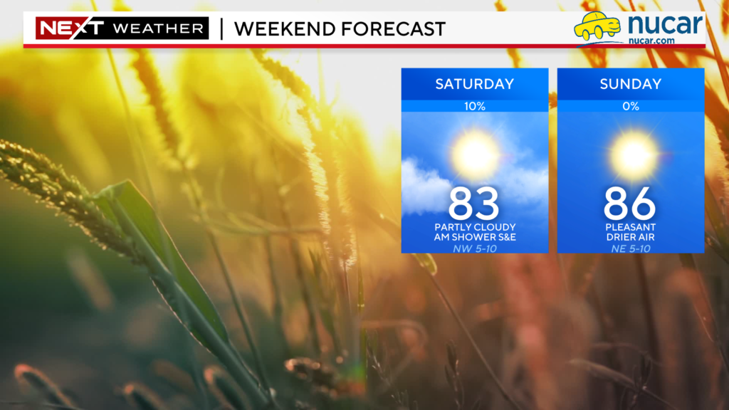
In fact, we are calling Sunday a WINNER! Get out and enjoy!
Click here for Westford snow storm data and past totals or select “Winter Snowfall“ under “Pages” on the left hand side.
For more up to date forecast information follow me on Twitter (@terrywbz) or follow the WBZ weather team on Facebook, search WBZWeather


Reader Comments